About the Lab
The SAJJAD Lab (Spatial Analytics for Just & Joint Adaptation to Disasters) is a research group at the Department of Geography and Resource Management, The Chinese University of Hong Kong, HKSAR, dedicated to advancing geospatial intelligence for systemic resilience.
"Just" here represents fairness, equity, and inclusivity in resilience-building through climate and procedural justice. It recognizes that the impacts of disasters and climate change are not felt equally. Vulnerable and marginalized communities or systems often bear the brunt of the damage but have the fewest resources to recover. Hence, when our lab pursues "Just Adaptation," it asks:
- For whom are we building resilience?
- Who is involved in the process?
- Are the outcomes fair?
"Joint" is about integration, collaboration, and systemic thinking. It refers to the breaking down of silos, with an emphasis that complex problems, such as disaster risk, cannot be solved by one discipline, one government department, or one sector alone. When our lab promotes "Joint Adaptation," it focuses on:
- Interdisciplinary Research: Combining geography, data science, engineering, social science, and GeoAI.
- Multi-Sectoral Collaboration: Bringing together governments, NGOs, private companies, and community groups.
- Integrated Data and Systems: Coupling geospatial data with socio-economic data, infrastructure models with climate models, GeoAI and Machine Learning, etc.
We cannot achieve "Just" adaptation without a "Joint" approach. Equity requires understanding social vulnerabilities (social science), mapping risks (geography), modeling hazards (climate science), and co-designing with communities (participatory action). It's inherently collaborative.
Lab Name Philosophy
SAJJAD from the Arabic word سجّاد means "one who is devoutly persistent" – reflecting our lab's ethos of rigorous, devoted inquiry into spatial problems for societal benefits and global good.
Our Mission
To develop integrative spatial analytics and forecasting frameworks that enhance community resilience to environmental hazards and climate change through evidence-based, actionable research.
Research Philosophy
We believe in translational geospatial science – bridging advanced analytics with practical applications for disaster risk reduction, sustainable urban development, and climate adaptation through employing spatial-information models, GeoAI, and Machine Learning.
Core Values
Principal Investigator
Dr. Muhammad Sajjad
World Top 2% Scientist (2025)
Environmental Sciences | Geography
Research Assistant Professor
Department of Geography and Resource Management, The Chinese University of Hong Kong, HKSAR
Let's Connect
Education
PhD (2017-2020)
City University of Hong Kong
Hong Kong Special Administrative Region of China
Visiting Scholar (2018-2019)
Princeton University, USA
MSc (2015-2017)
Xiamen University, Fujian, China
BS Hons (2009-2013)
GC University Faisalabad, Pakistan
Latest Updates
Research Focus
Dr. Sajjad's research focuses on geospatial data science for disaster risk reduction, vulnerability and resilience assessment, and science-informed planning. His work couples GeoAI, remote sensing, machine learning, and spatial modeling to address complex human-environment challenges.
Professional Experience
Contributing Author (August 2026-Present)
IPCC AR7, WG-II Chapter 2 (Vulnerabilities, Risks, and Impacts)
IPCC | ICTP | IAP
Chapter Scientist (Jan. 2026-Present)
IPCC AR7, WG-II Chapter 2 (Vulnerabilities, Risks, and Impacts)
IPCC | ICTP | IAP
Research Assistant Professor (Aug. 2025-Present)
Department of Geography and Resource Management
The Chinese University of Hong Kong
Research Assistant Professor (Sep. 2024-July 2025)
The University of Hong Kong
Research Assistant Professor (July 2021-July 2024)
Hong Kong Baptist University
Senior Scientist (March 2021-July 2021)
Climate Risks and Resilience R&D
Intensel Limited
Competitive Funding & Research Support
TDLEG Fund (2026-2028)
Generative-AI-VR Framework for Formative, Place-Based Disaster Literacy
PI, CUHK UGC
Equipment Matching Fund (2022)
Drone and virtual reality equipment
Co-PI, HKBU Research Committee
Startup Grant (Tier 1) (2021-2022)
Research initiation support
PI, HKBU Research Committee
Research Talent Hub Fund (2021)
Innovation and Technology Commission, HKSAR
Hong Kong PhD Scholarship (2017-2020)
Fully-funded doctoral program
City University of Hong Kong, HKSAR
China Scholarship Council (2015-2017)
Fully-funded master's scholarship
CSC China
Other Research Support
Awards & Honors
Xiamen University Excellence Award (2016)
Award for outstanding international students
Best Paper Presentation Award (2016)
Research forum organized by College of Environment and Ecology
Xiamen University, China
First Class with Distinction (2013)
BS(Hons) Geography - Gold Medalist
GC University Faisalabad, Pakistan
Student of the Year (2013)
Department of Geography
GC University Faisalabad, Pakistan
Research Interests
Research Team
Our interdisciplinary team brings together expertise in geography, data science, environmental science, and urban planning.
Current Team Members
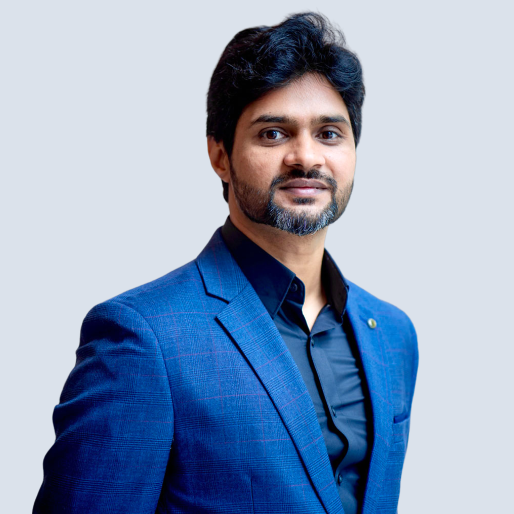
Dr. Muhammad Sajjad
Principal Investigator
Geospatial Data Science, Disaster Resilience, Remote Sensing
Primary focus: Disaster Resilience & vulnerability, GeoAI, Machine Learning, Spatial-temporal Modelling
Li Jiayi
PhD Student
Social Sensing, Remote Sensing, Flood Monitoring, GenAI, LLMs
Working on coupled social sensing and geospatial data for flood monitoring in dense urban areas
Ouyang Airong
PhD Student
Social Sensing, Remote Sensing, Computer Vision, Urban Resilience
Working on synergistic framework development to fuse social sensing, computer vision, and geospatial data for disaster resilience.
Zixin Li (Steph)
Research Assistant
Learning Simulations, Artificial Intelligence Avatars, Retrieval-Augmented Generation (RAG), Unity
Supporting our TDLEG project on Disaster Literacy via Virtual Reality (see Projects)
Previous Members & Alumni
Former members who have contributed to our lab's research and moved on to new opportunities.
Mirza Waleed
Former PhD Student
2021-2024
Remote Sensing, Cloud Computing, Flood Susceptibility, Climate Modeling
Now: Finalizing PhD Thesis at Hong Kong Baptist Unviersity
Sum Yee Luk
Former PhD Student
2021-2024
Remote Sensing, Geospatial Modelling, Mangroves Research, Spatial Statistics
Now: Finalizing PhD Thesis at Hong Kong Baptist Unviersity
Dr. Titilayo Abimbola Owolabi
Former Research Assistant
April 2022-Oct. 2022
Multi-hazard analysis, Landslides, Extreme Rainfall, GIS, Data Visualization
Now: Civil Engineering Data Analyst at Waterland, HKSAR
Join Our Team
Open Positions
Postdoctoral Researchers
Seeking candidates with expertise in GeoAI, remote sensing, and spatial modeling for disaster resilience applications.
PhD Students
Fully funded PhD positions through the CUHK/HKPFS program. Research topics in spatial analytics for climate adaptation.
Research Assistants
Part-time/full-time positions for fresh candidates and current students interested in geospatial research.
How to Apply
-
Review our research areas
Ensure your interests align with our lab's focus -
Prepare application materials
CV, research statement, transcripts, and references -
Contact Dr. Sajjad
Email with subject: "Prospective [Position] - [Your Name]" -
Formal application
Submit through CUHK's official channels
Research Collaborators
We have an active network of collaborators, including academia, international research institutions, and industry partners. To further expand our research and development (R&D) capabilities, we welcome partnerships/collaborations for co-design and co-production of knowledge and solutions for societal good.
Research Projects
Our lab engages in interdisciplinary research projects at the intersection of Geospatial Science, GeoAI & Machine Learning, Disaster Resilience, and Sustainability.
Transformative Experiential Learning: Generative AI + VR for Disaster Literacy
GenAI + VR adaptive avatars for disaster resilience: place-based experiential learning that saves lives through smarter decisions.
Urban Resilience Metrics
Creating spatial indicators for assessing and monitoring resilience in high-density urban environments.
Geospatial AI for Biomass Estimation
Integrating remote sensing and AI for above-ground biomass estimation in temperate forests.
Multi-Hazard Risk Assessment
Developing integrated frameworks for assessing compound and cascading disaster risks.
Funding & Collaborations
Our research is supported by competitive internal and external grants through collaborations with international partners and various governmental agencies.
Selected Publications
High-impact publications showcasing our research contributions to geospatial science and disaster resilience.
Publications are automatically updated from BibTeX file. Click here to refresh.
Lab News & Updates
Dr. Sajjad selected as a Chapter Scientist for IPCC's
We're excited to announce that Dr. Sajjad has been selected for IPCC's upcoming AR7, WG-II. He will be working with the CLAs and LAs of Chapter 2 (Vulnerabilities, Risks, and Impacts) to synthesize the state of global science for the upcoming AR7.
Paper Accepted in Ecological Informatics
Our research on "Integration of machine learning and remote sensing for above ground biomass estimation" has been accepted for publication.
Conference Presentation at AGU Fall Meeting
Lab members presented research on coastal resilience frameworks at the American Geophysical Union conference.
New Research Grant Awarded
Received funding for a project on "Multi-hazard risk assessment in coastal urban areas under climate change."
Postdoctoral Position Opening
We're seeking a postdoctoral researcher with expertise in geospatial AI and remote sensing. Applications now open.
Tools4Good
Innovative, simple, and easy-to-use tools designed to make a positive impact on the academic community and society.
QRaft Studio
An easy-to-use tool for generating permanent QR codes for free .
Meet@YourTime
Smart scheduling tool to coordinate meetings across different time zones efficiently for global research collaborations.
Upcoming Tools
Discover our pipeline of innovative tools being developed for social good, sustainability, and disaster resilience.
Contact Us
We welcome inquiries about research collaborations, student opportunities, and potential partnerships.
Location
Office ELB-428
Esther Lee Building
The Chinese University of Hong Kong
Shatin, New Territories, Hong Kong Special Administrative Region of China
For general inquiries and collaboration proposals:
muhammadsajjad@cuhk.edu.hk
Opportunities
We're always interested in talented researchers. Current openings:
- Postdoctoral Researchers
- PhD Students
- Visiting Scholars
- Research Assistants
Collaboration Interests
We actively seek collaborations with:
- Government agencies
- International research institutions
- Industry partners in geospatial tech
- NGOs focused on disaster risk reduction
- Universities worldwide
- Community organizations
Location & Directions
The Chinese University of Hong Kong
22.4195° N, 114.2062° E
How to Reach Us
By MTR
University Station (East Rail Line)
Exit A leads directly to campus shuttle service
By Bus
Multiple routes from Shatin, Kowloon, and Tai Po
72, 72A, 73A, 74A, 87K, 87S, 88K
By Car
Access via Tai Po Road (Route 9)
Visitor parking available on campus
Campus Map
2nd Floor, Department of Geography and Resource Management
Visiting Hours
By appointment only. Please email to schedule a visit.